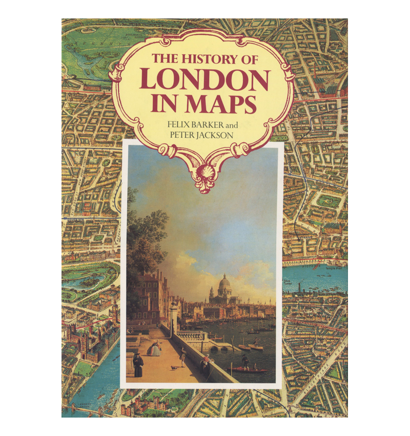
Description
All the great cartographers – Agas, Rocque, Ogilby, Horwood – are represented and in addition to the classic maps there are many unusual ones: a Victorian view from a balloon, a 19th century ‘plague’ of the Demon Drink, a map designed to be worn as a glove (for visitors to The 1851 Great Exhibition), the Metroland boom. There are a number of local maps (including Greenwich, Hampstead, Islington) and maps showing the creation of the West End, Regency London, Trafalgar Square, Mayfair and Belgravia. Large. Pre-Owned and in excellent condition with bright and clean dustjacket. First Edition. Hardcover. Published by Barrie & Jenkins Ltd 1990


